Ground Observations
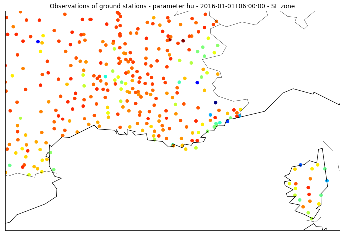
Hundreds of observation stations are built throughout the French territory, each one fitted with several sensors measuring parameters such as temperature, pressure, wind... Each parameter is measured every 6 minutes and each file contains 1 month of data for each geographical area ('NW' for North-West of France and 'SE' for South-East of France).
1. Files organization
For each zone, the files are stored per year with 2 compression levels (.tar.gz and .tar).
Example
Here is the path for the NW zone, year 2016 :
/data/NW/ground_stations/
NW_ground_stations_2016.tar.gz/
NW2016.tar/NW2016.csv
2. Metadata
| Name | Description | Unit |
|---|---|---|
| number_sta | ground station ID | - |
| lat | latitude | decimal degrees (10-1 °) |
| lon | longitude | decimal degrees (10-1 °) |
| height_sta | station height | meters (m) |
| date | a datetime object | format 'YYYY-MM-DD HH: mm :ss' |
3. Meteorological parameters
| Name | Description | Unit |
|---|---|---|
| dd | Wind direction | degrees (°) |
| ff | Wind speed | m.s-1 |
| precip | Precipitation during the reporting period | kg.m2 |
| hu | Humidity | percentage (%) |
| td | Dew point | Kelvin (K) |
| t | Temperature | Kelvin (K) |
| psl | Pressure reduced to sea level | Pascal (Pa) |